South Africa
Print maps of the Republic of South Africa. Includes blank maps, maps with city labels, and numbered maps.

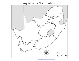
Blank Map #1 FREE
This blank map of the Republic of South Africa includes the borders of surrounding nations.
3rd through 8th Grades

Filing Cabinet
Logged in members can use the Super Teacher Worksheets filing cabinet to save their favorite worksheets.
Quickly access your most used files AND your custom generated worksheets!
Please login to your account or become a member and join our community today to utilize this helpful feature.

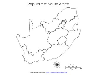
This blank map does not include the borders of surrounding nations.
3rd through 8th Grades
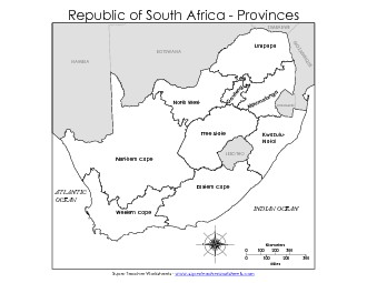
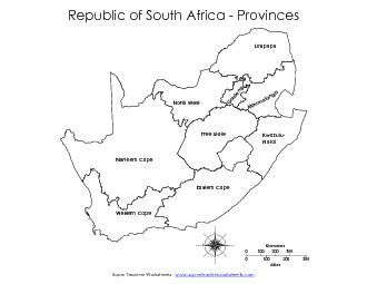
This map of South Africa has the names and outlines of the provinces. Includes adjacent nations.
3rd through 8th Grades
This map of R. of S.A. has the names and outlines of each province. Does not have adjacent nations shown.
3rd through 8th Grades
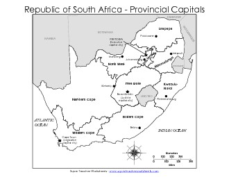
This South Africa maps shows major cities, provincial capitals, and national capitals. This version includes borders of neighboring countries.
3rd through 8th Grades
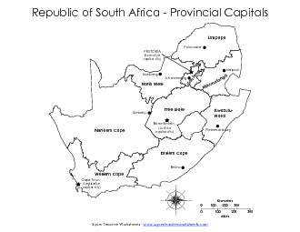
This version shows major cities and capitals, but does not include the borders and names of surrounding countries.
3rd through 8th Grades
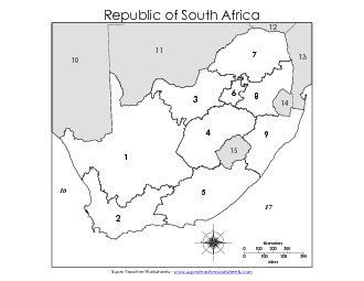
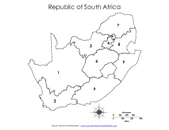
On this map, students must match the number with the correct S.A. province name or bordering nation name.
3rd through 8th Grades

On this map, students must match the number with the correct S.A. province name. Does not include nearby nations.
3rd through 8th Grades
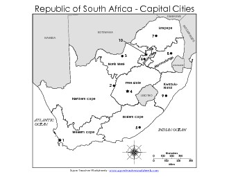
Students write the name of each numbered provincial and national capital city. Includes the names of surrounding nations.
3rd through 8th Grades
Students write the name of each numbered provincial and national capital city. Does not include adjacent nations.
3rd through 8th Grades

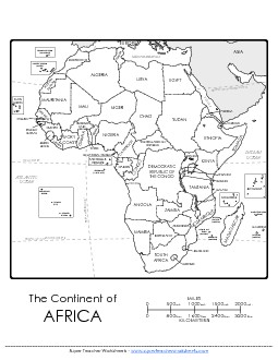
This map of the African continent includes the names of all najor nations.
3rd through 8th Grades
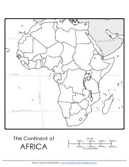
Here is a blank map of Africa for students to color and label.
3rd through 8th Grades
Printable maps of the USA, Canada, Asia, Africa, South America, India, Mexico, and more.
Map Skills WorksheetsUse these worksheets to learn about reading maps. Includes scale of miles, compass rose directions, and more.
Social Studies WorksheetsDownload worksheets for teaching landforms, basic economics, timelines, USA history, and more.